- HOME
- DOMESTIC TRAVEL
- 10 Best Photo Spots of Wat Arun Ratchawararam Ratchawaramahawihan, Bangkok, Thailand
10 Best Photo Spots of Wat Arun Ratchawararam Ratchawaramahawihan, Bangkok, Thailand

- View (24,866)
- ByWebmaster
- 14:20:16 | 20 Dec. 2018
10 Best Photo Spots of Wat Arun Ratchawararam Ratchawaramahawihan, Bangkok, Thailand

Wat Arun Ratchawararam Ratchawaramahawihan (Temple of the Dawn), locally known as Wat Arun or Wat Chaeng, the most stunning temple in Bangkok situated on the west bank of the Chao Phraya River and also the most visited place for tourists in Thailand. Wat Arun is partly made up of colourfully decorated spires and stands majestically over the Chao Phraya River. This makes it the Bangkok’s best sunset spot. Let’s come with Palanla.com to check out those beautiful spots of Wat Arun.
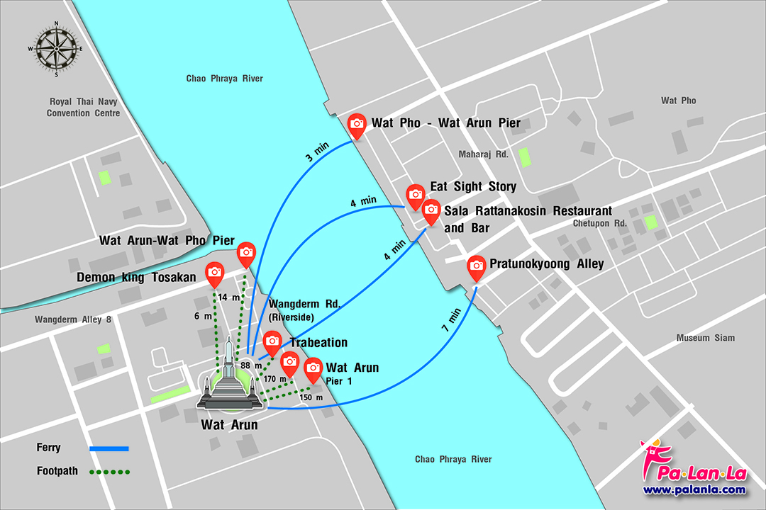
1. Eat Sight Story

Eat Sigh Story Eat Sight Story is a quirky new spot that serves delicious Thai fusion cuisine and an exciting array of cocktails, complete with views of Wat Arun and the Chao Phraya River. It is a delightful surprise hidden down an alleyway, quite unassuming and you might not find it if you didn’t know what you were looking for. It’s the ideal spot to relax and watch the colours of the sunset reflected in the river, then admire the sparkling evening lights and glittering shrines of the temple.
Recommended time : After sunset (around 6.00 – 7.00 pm depends on the season)
Tip : The restaurant is normally busy, please check with staff to make a reservation if possible.
GPS Coordinates : 13°44'43.6"N 100°29'26.6"E
2. Sala Rattanakosin Restaurant and Bar

Sala Rattanakosin is a beautiful restaurant and bar which offers one of the most iconic views it’s possible to find in Bangkok. It’s located on the riverside directly opposite Wat Arun (The Temple of Dawn), this means you have a magnificent snapshot of Bangkok as your backdrop from here. The place offers a scenic, riverfront dining option, overlooking the legendary Chao Phraya River and the mystical temple of dawn.
Recommended time : After sunset (around 6.00 – 7.00 pm depends on the season)
Tip : The restaurant is normally busy, please check with staff to make a reservation if possible.
GPS Coordinates : 13°44'42.3"N 100°29'26.9"E
3. Pratunokyoong Alley

Pratunokyoong Alley is the alley intersects with Maharaj Road, opposites to Wat Prachetupon parking lot. There’re several street food shops at the beginning of the alley, when you get to the end of the alley you’ll meet the spot which you can clearly overlook Wat Arun. This spot is also located right in the middle of Wat Arun spire across the Chao Phraya River. It’s the ideal spot to admire and photograph the sparkling early morning and evening lights of the temple reflected in the river. Evening can bring magical light to a landscape.
Recommended time : Early morning and after sunset (around 6.00 – 7.00 pm depends on the season)
Tip : In order to get in this spot, 100 Baht will be charged.
GPS Coordinates : 13°44'41.3"N 100°29'28.8"E
4. Doorway

This is another popular spot for photography. The spot provides nice composition of red doors opening inwards plus the arched entrance decorated with the golden Phra Kiao, Privy Seal of King Rama V. On clear days when the light is not filtered through clouds, you even have more chances to get nice photos of this beautiful spire. The current spire over 70 metres high was extended during the reign of Rama III (between 1824 and 1851), and is now one of the most visited sites in Thailand.
GPS Coordinates : 13°44'37.8"N 100°29'21.4"E
5. Wangderm Rd. (Riverside)

From this spot, you will see the spires and the subsidiary main chapel facing the Chao Praya River. The subsidiary main chapel once used to be the old chapel of Wat Arun. It’s a single - storey building with 5 rooms and beautifully architected. It’s also the place where King Taksin statue situated.
GPS Coordinates : 13°44'39.5"N 100°29'21.4"E
6. Wat Arun – Wat Pho Pier (Wat Arun Pier)

Wat Arun – Wat Pho Pier (Wat Arun Pier) is the pier that provides River Crossing Ferries costing 4 baht which simply can be used to cross the river from one side of the river to the other between Wat Pho (Tha Tien) and Wat Arun. The ferries are available from 05.00 am – 11.00 pm. From this spot you will see the spires and the white Sala buildings along the Chao Praya River. It’s another spot you can get nice photos of the beautiful Wat Arun and its surroundings.
GPS Coordinates : 13°44'41.7"N 100°29'20.5"E
7. Wat Pho - Wat Arun Pier (Tha Tien Pier)

Wat Pho - Wat Arun Pier (Tha Tien Pier ) is the pier that provides River Crossing Ferries costing 4 baht which simply can be used to cross the river from one side of the river to the other between Wat Pho (Tha Tien) and Wat Arun. The ferries are available from 05.00 am – 11.00 pm. In the past, this pier used to provide ferries to Bang Bua Tong district, Ayutthaya Province, Chinat Province and Nakorn Sawan Province. From this spot you will clearly see Wat Arun spires and Vichai Prasit Citadel
Recommended time : After sunset (around 6.00 – 7.00 pm depends on the season)
GPS Coordinates : 13°44'46.1"N 100°29'24.4"E
8. Demon King Tosakan

Apart from the main spire, another remarkable spot of Wat Arun are these demons standing at the arched entrance, Yod Mong Kud. The green one is named Tosakan whereas the white one is named Sahatsadecha. Taking photos from this spot, you’ll get nice composition having the green demon as a foreground and the spire as a background, plus beautiful greenery that makes the photos even more vibrant and outstanding.
GPS Coordinates : 13°44'40.9"N 100°29'19.2"E
9. Dinner Cruise

On a river cruise along the Chao Phraya River is another spot that could offer you one of the best chances to admire beautiful views and photograph the historical landmarks, including Wat Arun. Take a river cruise, and you will experience the beautiful night sceneries with a romantic atmosphere on dinner cruises in the middle of Bangkok.
GPS Coordinates : 13°44'40.8"N 100°29'28.2"E
10. Drone above Phuek Wittayaprasat School

Drones are capable of capturing stunning views of Wat Arun from different perspective, which reveals surrounding details of this country’s beautiful landmark along the Choa Phraya River at the same time. However, to be able to legally use drones permission is needed.
GPS Coordinates : 13°44'39.0"N 100°29'18.9"E
Useful Information : Weather Forecast https://www.accuweather.com/
Bangkok Travel Information http://www.bangkoktourist.com
Tourism Authority of Thailand https://thai.tourismthailand.org
Currency : Thai Baht (THB)
Currency Rates https://www.xe.com/currencyconverter
You May Also Like
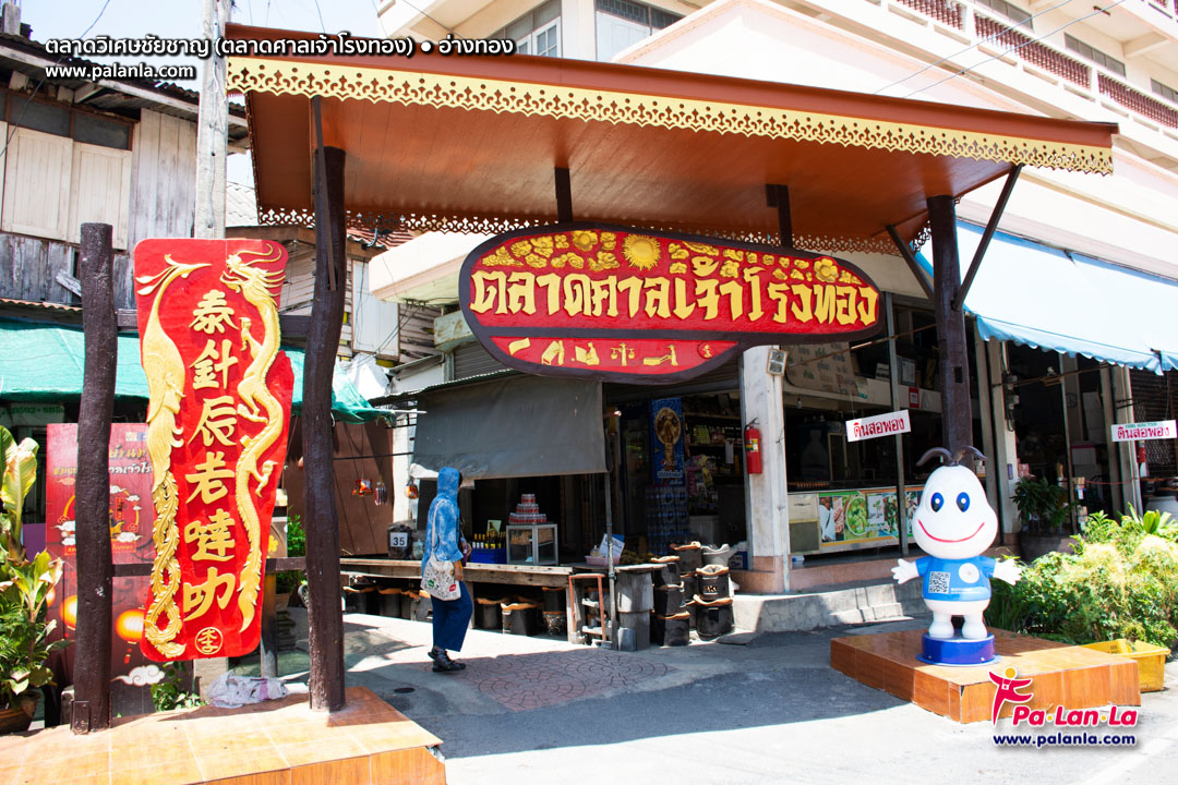
Wiset Chaichan Market, Ang Thong, Thailand
READ MORE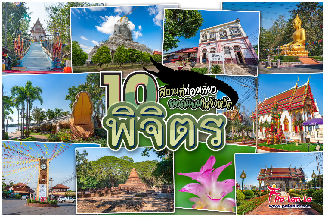
Top 10 Travel Destinations in Pichit, Thailand
READ MORE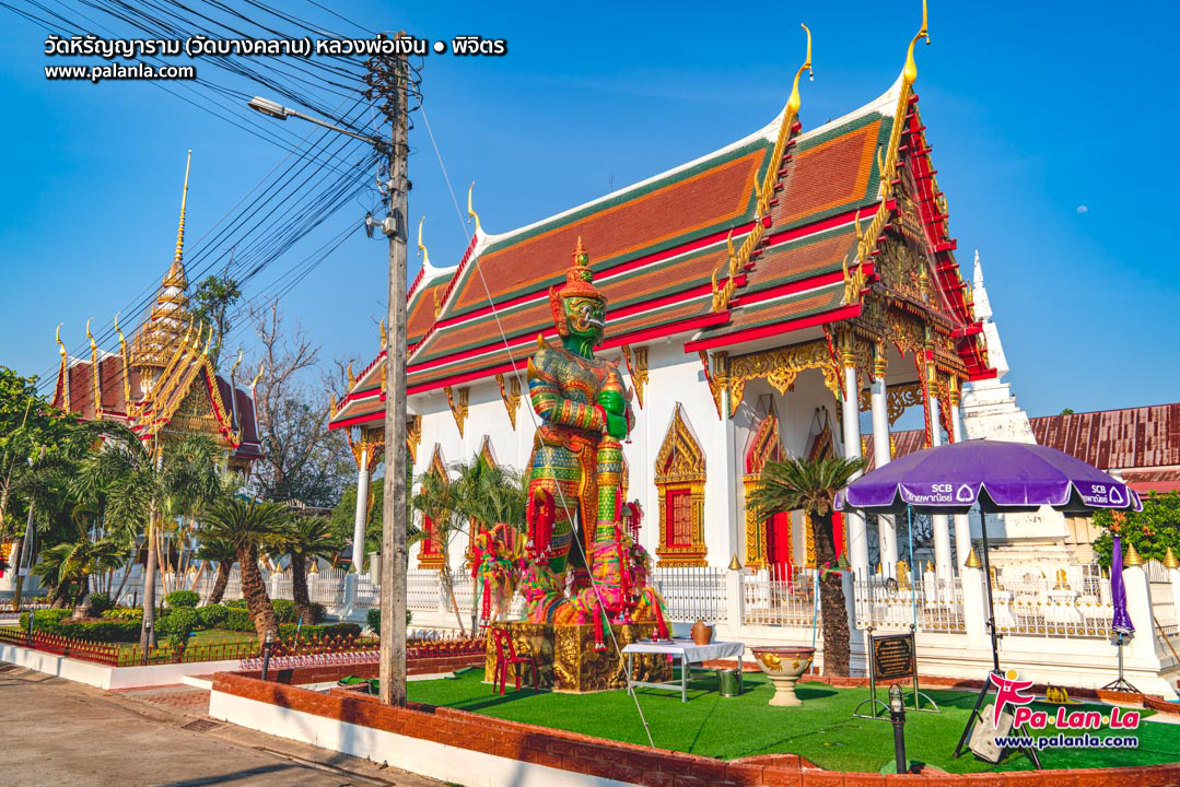
Wat Hiranyaram (Wat Bang Khlan), Pichit, Thailand
READ MORE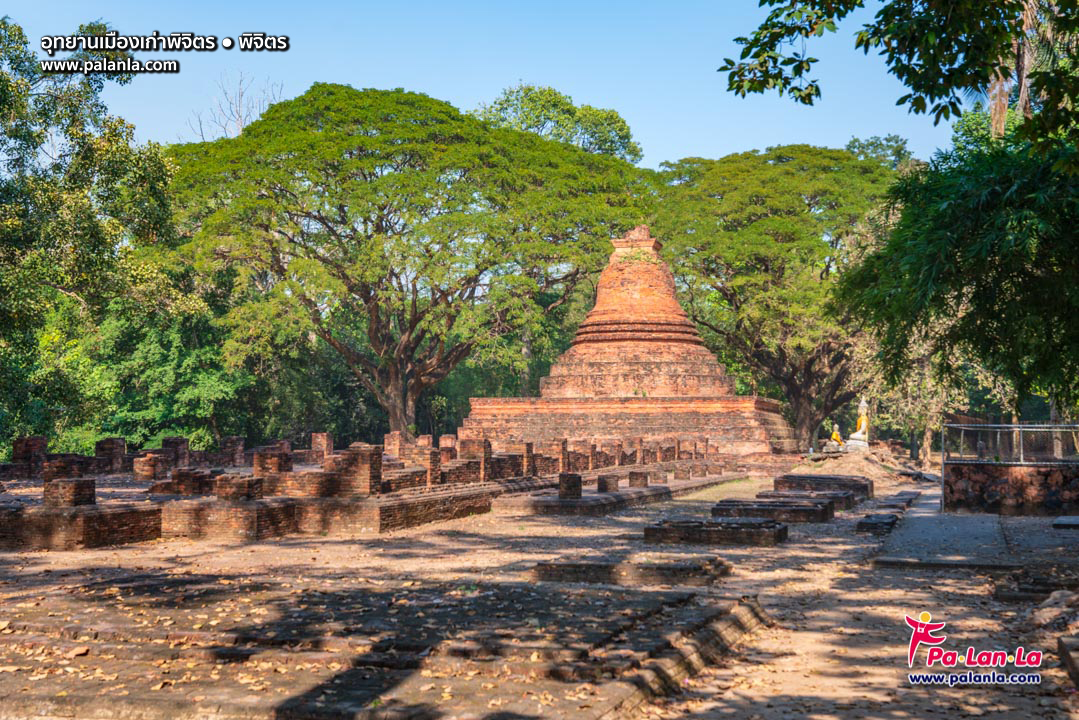
Pichit Historical Park, Pichit, Thailand
READ MORE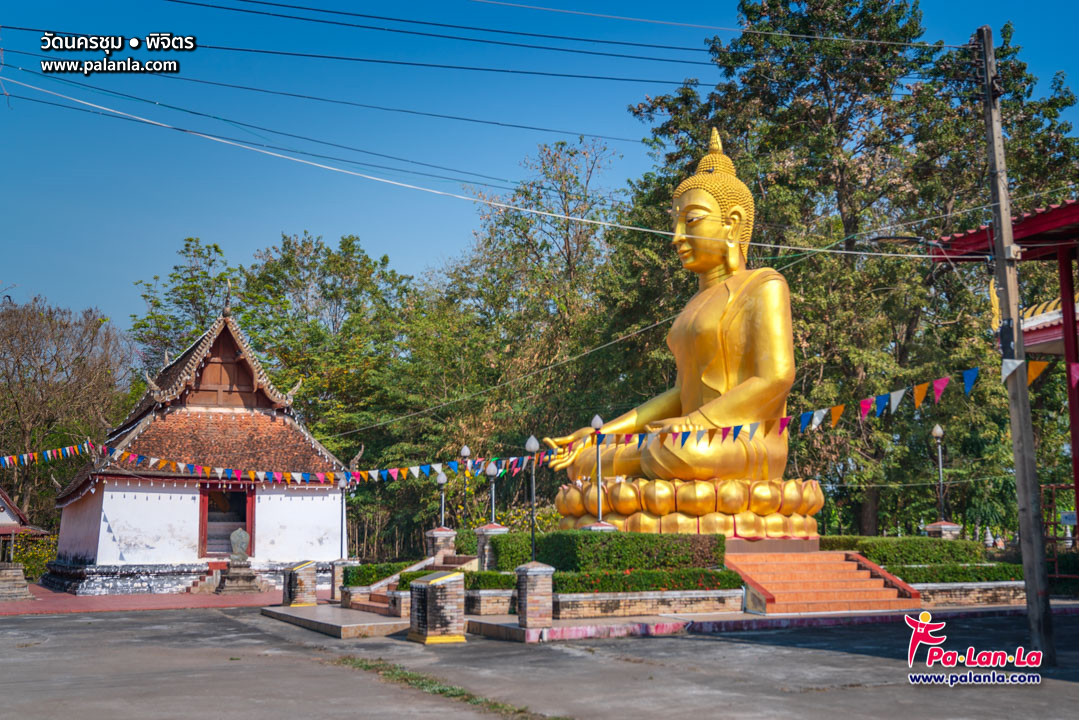
Wat Nakhon Chum, Pichit, Thailand
READ MORE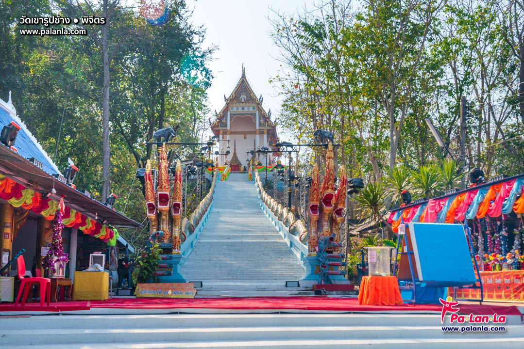
Wat Khao Rup Chang, Pichit, Thailand
READ MORE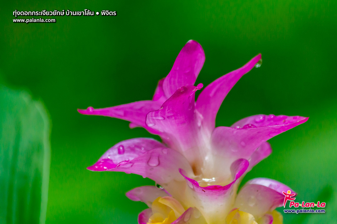
Giant Siam Tulip Field Baan Khao Loan, Pichit, Thailand
READ MORE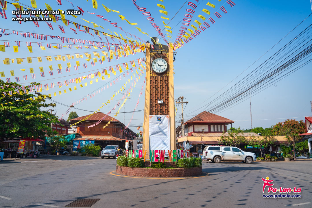
Yan Kao Wang Krot Market, Pichit, Thailand
READ MORE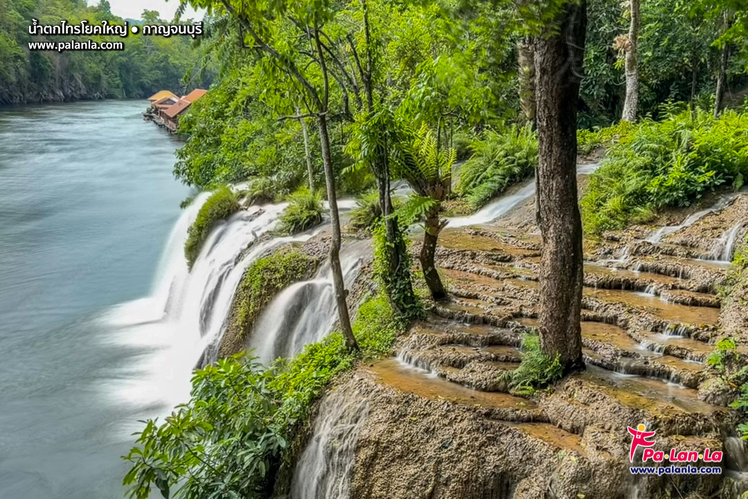
Sai Yok Yai Waterfall, Kanchanaburi, Thailand
READ MORE